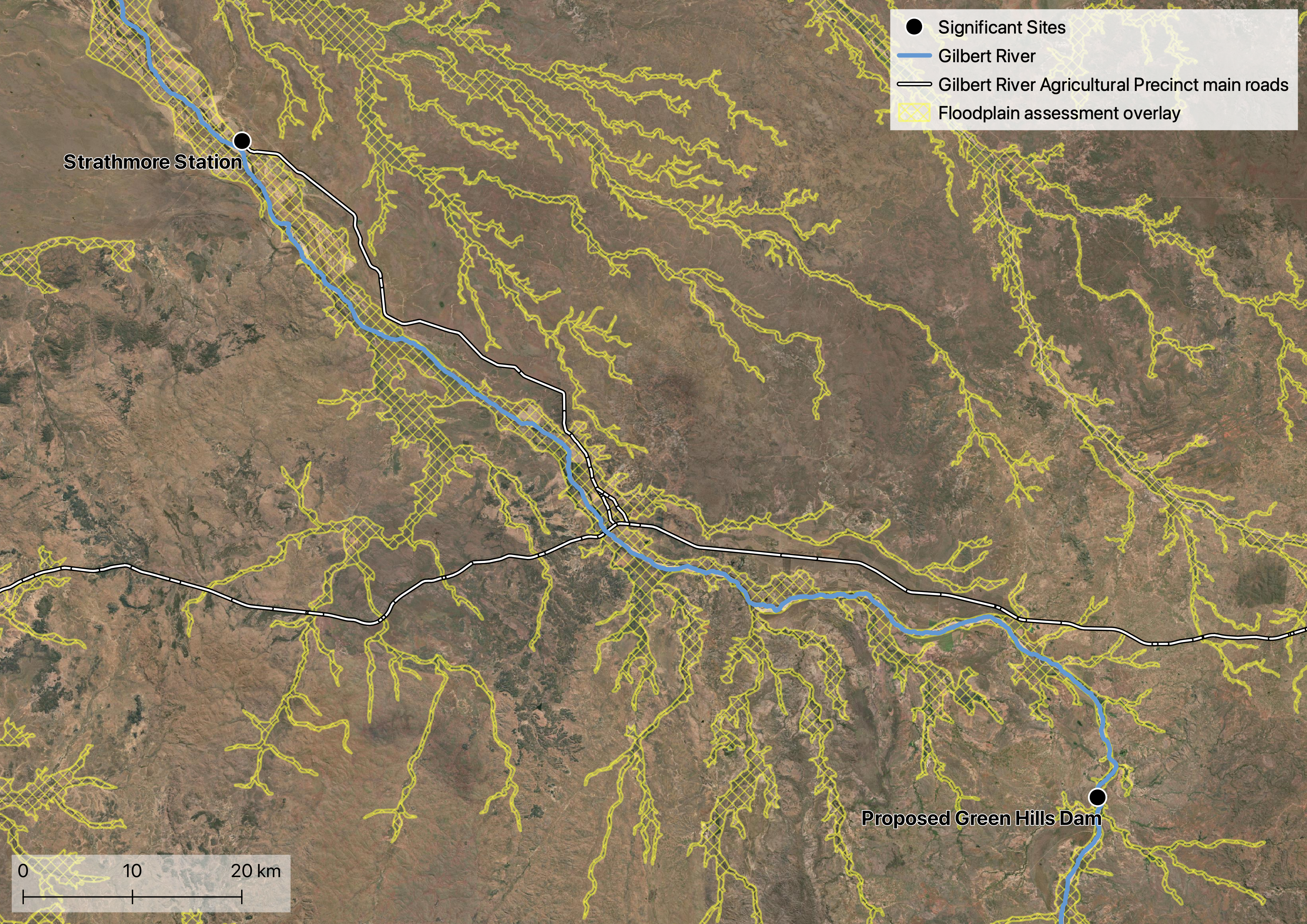
The Queensland Floodplain Assessment Overlay highlights potential inundation areas. The intended use of this data is for local governments to identify areas prone to flooding.
As the overlay was developed using historical flood records, vegetation mapping, soil mapping and elevation it provides insight into soil permability and floodplain sediment that possibly extends beyond the banks of the Gilbert River. The floodplain overlay layer is an initial assessment only, so should be considered alongside other data (e.g., soil data).
The Queensland Floodplain Assessment Overlay can be downloaded from the Queensland Spatial Catalogue and displayed in GIS software.
Resources
- Queensland Spatial Catalogue
- Queensland floodplain assessment overlay (metadata)