Geophysical data measures the conductivity of soil, regolith and groundwater. In this way the data can be used to identify salinity risks and quantify groundwater resources. Geophysical data can also be used to understand aquifers (e.g., aquifer depth, layering). However, geophysical data is seldom used alone, being accompanied and validated by other on-ground measurements (e.g., groundwater salinity as measure at bore holes, soil salinity samples).
CSIRO’s FGARA project gathered electromagnetic (EM) geophysical data via helicopter over select flight lines of both the Gilbert and Flinders catchments. The flight lines were focused along main rivers and areas were water storage options were suggested.
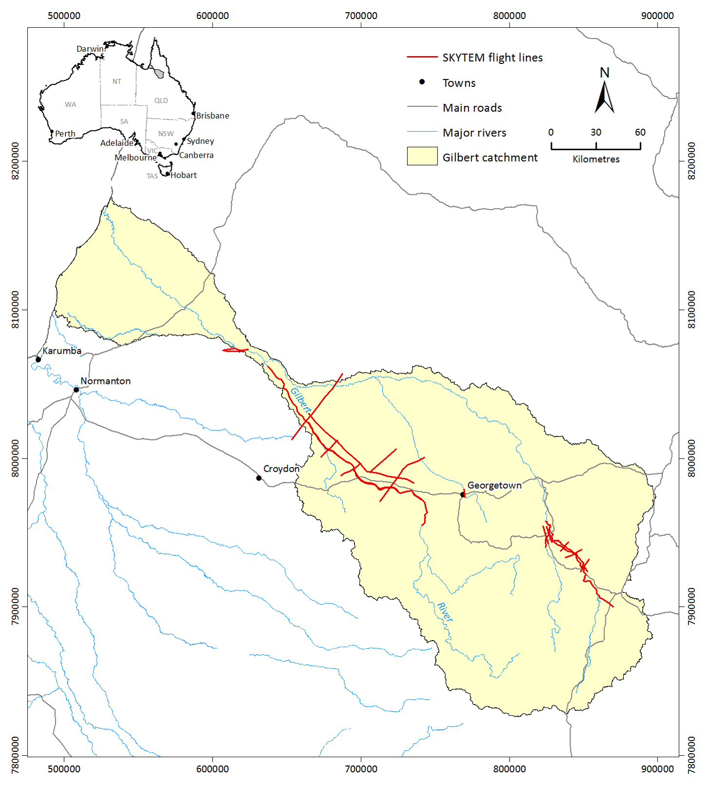
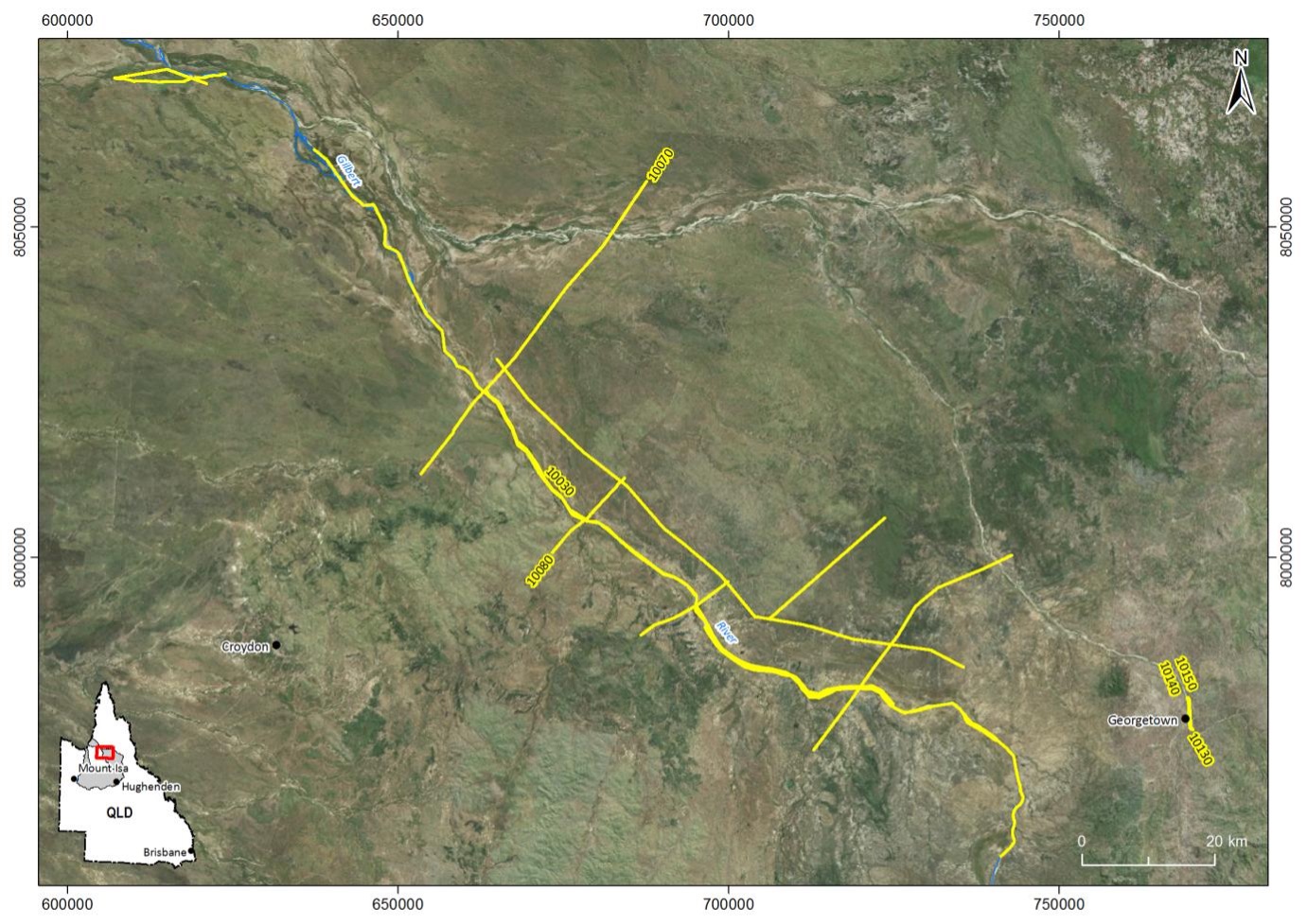
The findings of the FGARA flights along the Gilbert River suggest that the groundwater stored in the bed sands are of low salinity. This is beneficial from an irrigated agriculture perspective as crop selection should not be limited based on water quality when the water is sourced from the bed sands. Another findings was that the bed sands of the Gilbert River range from a few meters to about 15 meters thick. Understanding the depth of the bed sands allows for more accurcate calculation of the volume of water the bed sands can store and where storage may be greatest (i.e., in the thicker sections of the bed sands).
Resources
On this website: