The Tagalaka and Ewamian peoples are the custodians of the land and waters in the Gilbert River Agricultural Precinct.
Current landholders in the Gilbert River Agricultural Precinct (GRAP) typically also play a stewardship role in the region, looking after the land to ensure its continuing health and productivity. Under Australian and Queensland law, land in the area is held under a mix of leasehold and free hold tenure. The Native Title Act 1993 also recognises that First Nations hold rights and interests based on their continued laws and customs and an ongoing connection with land and waters. While others may be stewards of the land, it is recognised that the Tagalaka and Ewamian peoples have a distinct relationship to their Country, and always were and always will be the custodians of the land.
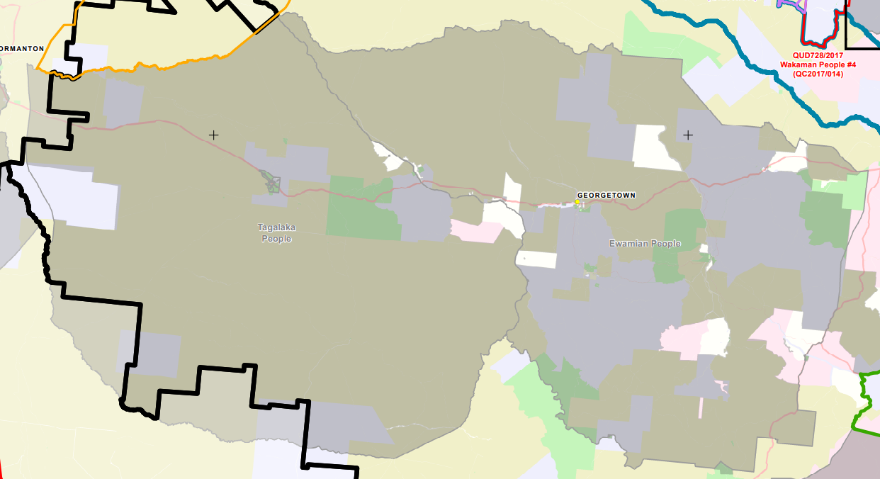
The Tagalaka Native Title Consent Determination was made in 2012 with exclusive native title rights over approximately 105 square kilometres of land and non-exclusive native title was recognised over a further 29,817 square kilometres. The determination of Ewamian Native Title was made in 2013. The boundary between Ewamian and Tagalaka determinations is the Gilbert River.
</div>
In the late 19th Century during the expansion of European settlement, Ewamian and Tagalaka Peoples were dispossessed of their lands. They were forced to live under the Protection Act, needing permission to marry, travel or work, taken off their land to missions or reserves, or working as stockmen and domestics1. Relatively few Ewamian and Tagalaka people currently have the opportunity to live on country.
Rock art sites and stone groovings have been found near water sources, rivers, and creeks. Further intensive irrigation development is expected to pose significant risks to the health of the system and to cultural heritage sites, though there is some interest in potential for development to contribute to Indigenous livelihoods through employment and compensation and opportunity to move back to country2.
The Tagalaka Aboriginal Corporation is in the process of negotiating with Queensland Parks and Wildlife Service (QPWS) a new Indigenous Land Use Agreement (ILUA) for Littleton National Park. Littleton National Park includes tributaries that join the Gilbert River downstream of the Gulf Development Road bridge, including the Little River and its headwaters. The Tagalaka Aboriginal Corporation also has a ranger group who look after the traditional land of the Tagalaka people.
Outside the Gilbert River Agricultural Precinct, Talaroo Station, a 31,500 hectare property on the Einasleigh River, was purchased on behalf of Ewamian people in 2012 through the National Reserve System and since that time has been managed by Ewamian Rangers as an Indigenous Protected Area and Nature Refuge.
Development in the GRAP must be culturally aware. For example, as part of the Gulf unallocated water release cultural sites must not be adversely affected by any development. When submitting a development proposal or apply for a water entitlement water entitlement should refer to the cultural heritage register.
The detailed business case (DBC) of the proposed Green Hills dam did an initial assessment into Aboriginal cultural heritage in the GRAP and at the proposed dam site in particular. It is possible that Indigenous cultural sites would be inundated if the dam would go ahead. The DBC highlighted that future work would need to negotiate with Indigenous parties in the area and develop a Cultural Heritage Management Plan (CHMP).