The monsoonal climate means that streams and rivers including the Gilbert River are typically dry from April to October. During the monsoon season, stream and river crossings commonly flood, cutting off access.
Notable high flows causing overbank floods occurred in 1956, 1965, 1974 and 2009. Peak flood heights are available from BOM from the early 1970s.
A number of houses are elevated to above 1974 flood levels, including Riverview, Blanncourt, and Rockfields.
Flood monitoring
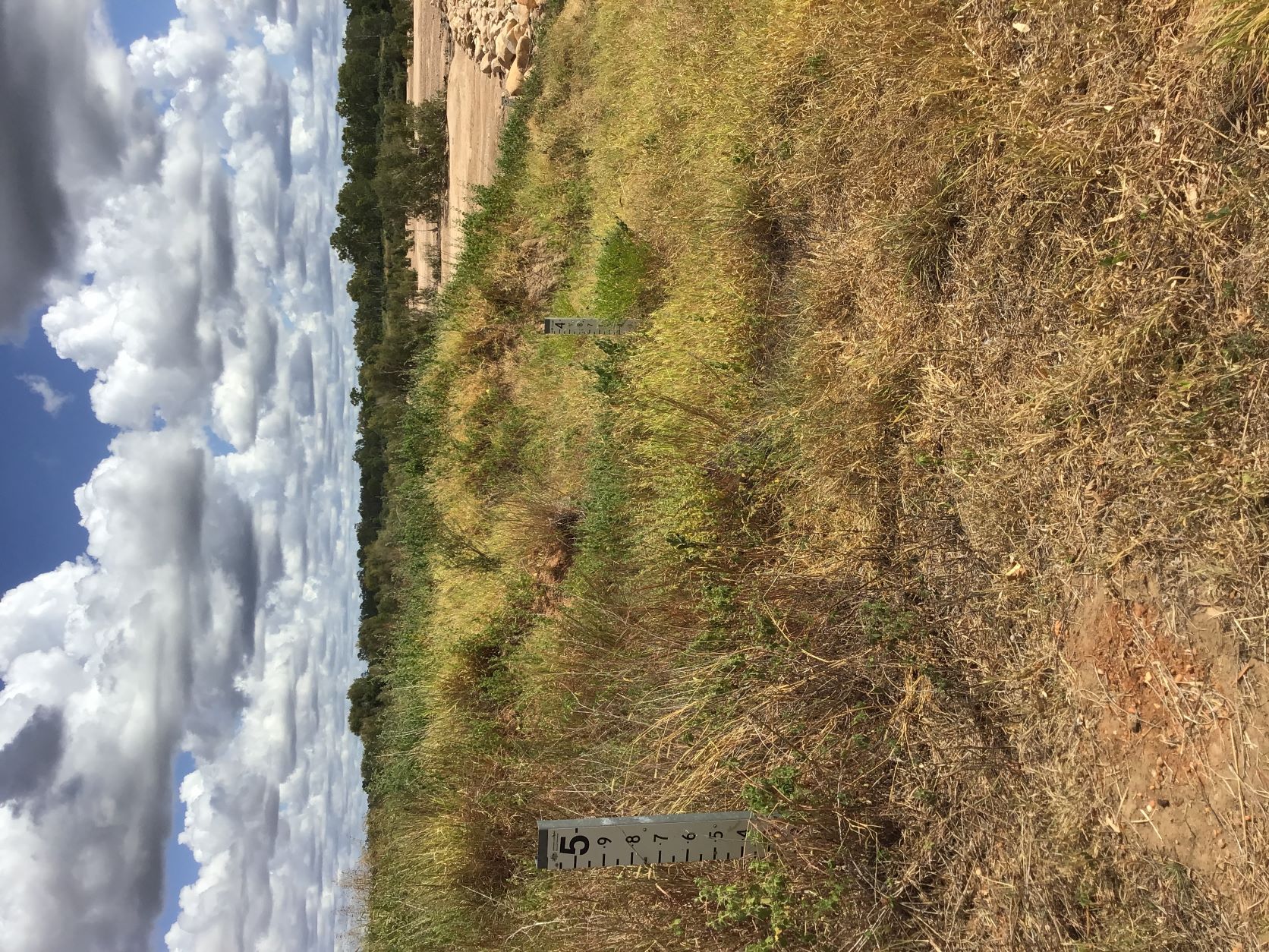
People commonly call their neighbours to ask whether rain has occurred in an upstream tributary and therefore whether stream crossings might be flooded out, while upstream neighbours also notify downstream properties when the river is seen to flow, especially at the start of the wet season or where river heights reach a level where landholders might need to enact their flood preparations (about 3.5 m at Greenhills).
Flood planning
The Green Hills dam detailed business case identified a flood risk with a dam break. Although the dam was suggested to be constructed using a method that could be overtopped by flash floods, reducing damage to the structure, if the dam were to fail up to nine properties would likely be affected. Dam failure would incur loss and damages worth more than $200 million. The potential dam consequence hazard category was determined to be high risk, requiring a acceptable flood capacity of 1 in 20,000 annual exceedance probability.
The Detailed Business Case developed a 2D TUFLOW hydraulic model to simulate sunny day and flood dam failure scenarios. The hydraulic model extends from just upstream of the proposed upstream dam site to 140 km downstream of the proposed dam wall.
The Queensland Floodplain Assessment Overlay highlights potential inundation areas.
It is suggested that increasing sand and trees in the Gilbert may mean that a 1974-level flood could occur at lower flow levels in future.
Observations
- 1974
- A building in Green Hills was partly flooded
- Paramount and Blanncourt were flooded
- 2009
- Blanncourt was encircled with flows north and south of the homestead, and water running down Shady creek
- BOM report Queensland Floods January and February 2009 , Gulf Rivers Floods January and February 2009
Resources
- Etheridge Shire Council Road Condition Report
- BOM Flood warning system for the Gilbert River
- Queensland floodplain assessment overlay
- Etheridge Shire Council, Natural Hazard Risk Assessment, August 2019