Water infrastructure describes systems that supply, divert, treat and/or store water. Flood prevention, water-based transportation and hydro power infrastructure are also included.
Examples of water infrastructure include dams, groundwater bores, pipelines and storage tanks. Infrastructure used to irrigate is also water infrastructure.
Water infrastructure in the Gilbert/GRAP
There is a range of water infrastructure in the Gilbert catchment including in-stream dams, farm dams, bores, and spear bores.
There are two in-stream dams in the Gilbert catchment: the Copperfield River Gorge Dam (a.k.a., Kidston Dam) and the new Charleston dam.
The Kidston dam is on the Copperfield River near Kidston, 60 km south of Einasleigh, and has a volume of 20.6 GL. The dam was originally constructed to provide water for the now closed Kidston gold mine, but now provides water to select downstream properties and homes in Kidston via the original mine supply pipeline under the management of the Queensland Department of Resources.
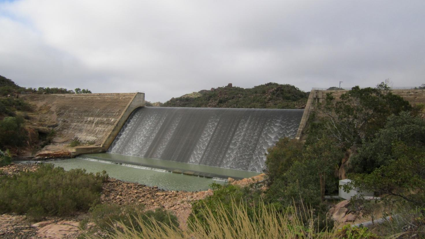
The Charleston dam was recently completed to supply water to the towns of Forsayth and Georgetown. The dam is 30 km upstream of Georgetown on the Delany River. The dam is planned to supply 100 ML/year to Forsayth via a pump and pipe and 500 ML to Georgetown via the release of water from the dam to replenish bed sands of the Etheridge River, downstream of the confluence with the Delaney River. Georgetown currently extracts water from the Etheridge River bed sands using spear bores, with the new dam to supplement this.
Farm dams are common throughout the Gilbert catchment and GRAP for stock and domestic use. Smaller farm dams are possible without the need for water licences, however, development approvals could be required.
Spear bores access water in the bed sands of the Gilbert River in the GRAP, with associated entitlements. Other bores extract water from deeper aquifers, being predominantly for stock and domestic use.
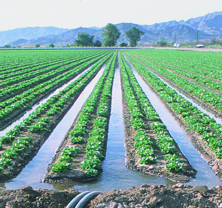
Both center pivots (spray irrigation) and furrow irrigation systems are currently in use in the GRAP. Furrow irrigation has been limited to crop trials on a relatively small scale. It has been suggested that furrow irrigation is less suited to this region based sandy soils and the possibility it may cause erosion.
Proposed water infrastructure in the GRAP
The proposed Green Hills dam would service properties along the GRAP. The dam would include the main dam wall, several saddle dams, pump station, pipeline to a temporary storage, concrete channels to the serviced properties and offtakes.
Any new infastructure would need to comply with relevant development approvals and other regulation.
Infrastructure needs of current water release
One of the conditions of the current Gulf Unallocated Water Release is that a proponent must install infrastructure capable of taking at least 50% of the yearly entitlement (e.g., 1,000 ML of a 2,000 ML/year entitlement) within 3 years from the licence issue date. If the proponent does not comply, their license will be cancelled as they have not demonstrated intent to use the water.
Resources
On this website:
Data sources
- Groundwater Database - Queensland Includes data on the formation the bore accesses, the yield of the bore and construction details among other characteristics.
- Water storage points - Queensland Displays small man-made water storage points (dams)
- Reservoirs - Queensland